Twelve days: Our plan for our time in Madagascar!
I know I still have one more post to write about Portugal, but I’m just too excited to write about Madagascar, and so I’m going to skip ahead to that for the time being. When we were doing our travel planning it was the hardest to figure out what to do for our time in Madagascar, so I wanted to start out with how we decided to spend the twelve days there. (Spoiler alert: it was not even close to enough time).
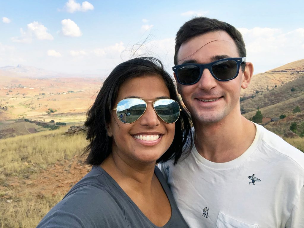
Tell me a little more about Madagascar
So, we basically knew nothing about Madagascar before we decided to go there. When we were planning our around-the-world itinerary, we knew we wanted to go somewhere off-the-beaten path and when we looked at the world map, one of us said “what about Madagascar?” and the other of us said “sure, why not!”. Little did we know how impactful the twelve days in Madagascar would be on us.
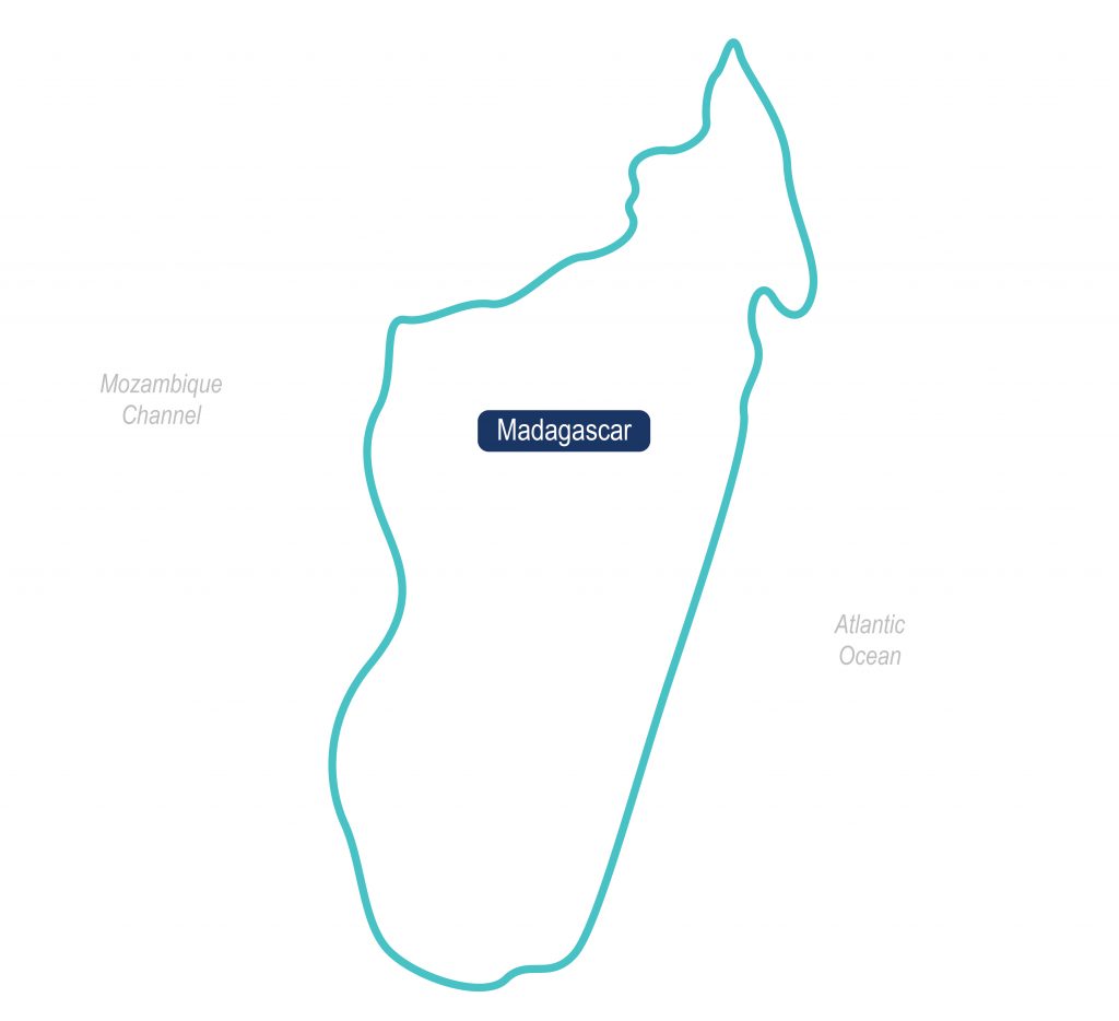
Anyway, to start, Madagascar is a huge country. You can see the basic layout below, but it is the fourth-largest island in the world (for some reason Australia isn’t considered any island, any smart geography folks out there want to tell me why?), and measures about 1,600km tall by 580km wide. ~25 million people live in Madagascar, and the country has only been inhabited for 2,000 years. Madagascar became an independent nation (from France) in 1960.
In all senses of the word, Madagascar is a developing country. The total GDP for the entire country is only $10 billion (less than the value of many US-based companies!) and per capita GDP is $405. The average person lives on an income of less than $2 a day. Over 87% of the population lives in poverty and ~30% of the population does not have any education beyond primary school (I think, need to get confirmation on that exact number, but it is close). There is a high birth rate and more than 42% of the population is under the age of 15.
These facts make it clear that Madagascar is in a state of need and being ranked #161 (out of 189) in the UN’s Human Development Index just underscores this point. I’ll talk more about the specifics of what we learned in later posts, but just like visiting any developing country, seeing Madagascar was a sobering reminder of the gross inequality that exists in this world.
But, lest you think it’s all doom and gloom – Madagascar is an amazing place. There is stunning and diverse natural beauty everywhere you look, from blue oceans, to green rainforests, to dry mountains, to cute lemurs and other wildlife. There are a variety of natural resources, from sapphire to seafood to vanilla. And every person you meet is doing the best they can for themselves and their family, and what is more relatable than that?
The plan for our time in Madagascar
Ok, enough of the background (for now, muahaha). So, given this large and diverse country, how in the world did we decide how to spend our time in Madagascar?
To start with, we knew we wanted to do something related to volunteering, and we got the perfect opportunity with the UNFPA, the United Nations Population Fund. This is the agency of the UN whose mission is “to deliver a world where every pregnancy is wanted, every childbirth is safe and every young person’s potential is fulfilled.”
I’ve been working closely with the Friends of UNFPA (the US fundraising arm for the UNFPA) for the last two years and I strongly believe in its mission and impact. So, the lovely folks at Friends of UNFPA, the UNFPA itself and UNFPA Madagascar kindly welcomed us to learn about all the work in Madagascar and to see the actual facilities in which UNFPA is making a difference. If you know me, you know this won’t be the last you hear of this, but for now that’s a good primer on how we spent a bulk of our time.
Aside from volunteering, we wanted to explore the natural beauty of the country as well as see how people in Madagascar live. But, because the country is very large, and the roads are very bad (rumored to be the 3rd worst in the world), we had to make our choices in terms of what to do with our time in Madagascar and live with the peace that we will be back one day.
We ended up focusing around two main cities where we were working with the UNFPA and then creating an itinerary around that. In short, we flew into Antananarivo, spent two days there, flew to Tulear, spent two days there and then did a private driving tour for seven days from Tulear back to Antananarivo.
Here’s our plan for our time in Madagascar on a map:
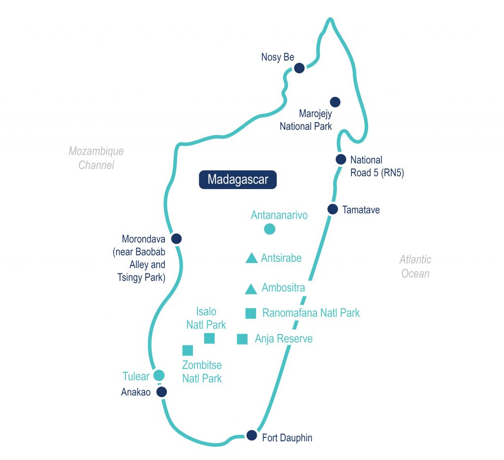
What we did during our time in Madagascar
- Two major cities (teal circles): ~4 days
- Antananarivo: The capital city of Madagascar
- Tulear (aka Toliara): A coastal city in the southwest (we also drove about 45 minutes north of here to see a spiny forest reserve in Mangily – yay for baobab trees!)
- Two smaller cities (teal triangle): ~2 days
- Ambositra: A town full of artisans and local crafts
- Antsirabe: A town that was the center of French life during the colonization
- Four national parks (teal squares): ~6 days
- Zombitse National Park: A dry forest area with many birds and the sifaka lemur
- Isalo National Park: A huge national park with sandstone mountains
- Anja Reserve: A place to see lots of lemurs – including babies and their mommas during this time of year (preview here)
- Ranomafana National Park: A rainforest where you can see a variety of lemurs (including ones thought to be extinct), chameleons, frogs, and lots of birds
What we didn’t get to do during our time in Madagascar
Oh man, there is too much that we didn’t get to see in Madagascar. As I mentioned, the country is so big and the travel time so long between distances that you would need months upon months to see it all. I’m sure I’m not covering everything we missed during our time in Madagascar on this list, but here are the big ones for me (in dark blue circles – I put the map here again so you don’t have to scroll back up):

- Anakao: A beautiful beach town south of Tulear, with an amazing reef for snorkeling and diving
- Fort Dauphin (aka Tolanaro): A coastal area that gives a good feel for life in the south of Madagascar (the poorest area of the country). Fort Dauphin was the first French settlement in Madagascar
- Morondava: A west coast town that is close to one of Madagascar’s claims to fame, the Avenue of the Baobabs (reference pictures here if you’d like) and to the Tsingy National Park, which has some amazing limestone pinnacles
- Tamatave: An east coast city that is on the water and is the gateway to some of the Madagascar’s most beautiful seascapes and sea adventures
- National Road 5 (RN5): Supposedly the most “adventurous” part of Madagascar, where you must be in a 4×4 and using the word “road” is a euphemism – lots of rivers, obstacles and rocks to drive over and explore
- Marojejy National Park: Another rainforest in Madagascar and a place to see more species of lemurs
- Nosy Be: Probably the place I was saddest to miss, an area with a bunch of blue islands with beautiful white sand beaches and blue waters, and an almost guarantee of swimming with turtles
Up first!
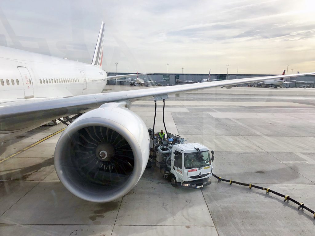
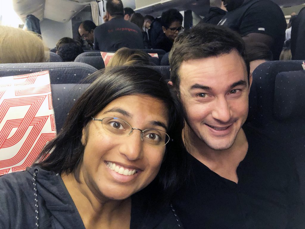
After a 24-hour long journey (JFK to Paris CDG, 2-hour layover, Paris CDG to Antananarivo TNR), we were ready to finally be in Madagascar (can you tell from my face after we landed in the picture below?)! We got in around midnight on Saturday and then had a rest day on Sunday, and then on Monday were off and at it with the UNFPA. More to come soon on our time in Madagascar, we are so excited to share it with you!
Related Posts
UNFPA Madagascar fundraiser – please give!
TLDR: We got to see first-hand some of the amazing work UNFPA Madagascar is…
October 8, 2018A stunning Cape Town day: Cape of Good Hope, Cape Point, Boulders Beach and Chapman’s Peak Drive!
Ok, so I know I’m a bit all over the place here, writing our…
October 8, 2018


Leave A Comment